hi teams:
i hope everyone had a great memorial day weekend!
long a tradition in my family, the indy 500 had to be placed aside as rick and i were out from mid-morning till way passed dark scouting sections of this fall’s course that we have not been able to previously explore due to weather conditions.
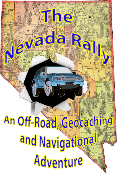
we did, however, get a lot accomplished in designing the course for the nevada rally v. 0.1.
the disappointing news regarding the completion of the course is: one of the canyons that i had hoped to route teams through as a possible “extreme section” has degraded to the point of it being just too extreme for anyone who might regularly participate in our rally.
one of the cool things about setting up the rally courses that you all get to experience is that we get enjoy these roads and sights several times; we also get to see a lot of roads, sights, sites and other things that, unfortunately, you will not see on the rally.
in this case we cannot send teams into a dangerous driving situation knowing that most of the vehicles making that attempt are going to suffer damage.
since there is only one road into and out of this canyon in its present state, we would have to send teams up a road for 90 minutes, turn you around (if you can find a place to park so many vehicles and, indeed, turn them around) and come back down the same road in the opposite direction; narrow roads are tough enough to negotiate with just the occasional oncoming vehicle with which to contend let alone having several vehicles, in both directions. it’s not safe and it does not allow for parity since the teams in the middle of the pack will have to encounter far more oncoming vehicles in both directions that the first ones in and the last ones out won’t have to pass.
many have been the times that rick, willybeee, ivan, teri or i have had the pleasure of experiencing incredible sights or scenic roads or amazing vistas or monuments to nevada’s history that, usually for the reason of controlling two-way traffic, cannot be used for the rally.
it is for that reason that have to skip this particular canyon that i have been referring to as: our northwest passage. so, not unlike the northwest passage sought by lewis and clarke and the corps of discovery, we had to take another look at our options.
just how will this affect the rally?
well, if i hadn’t have told you, you would not know anything about the planned route.
technically: it will lengthen the course by a few miles, but will probably require less time to complete. the route will still be as remote as many participants have ever been in their lives and just as challenging to maintain higher scores than the competition.
i have known for several years that the canyon in question is not for the faint at heart. but, it is now reaching the point where, unless somebody with a powder license goes up there and flattens a couple of boulders to rock and gravel, only rock crawlers will be able to make the trip from one end to the other.
so, at this point in time, rick and i have plotted out ¾ of the course; we only have a couple of short sections in higher elevations to track and measure.
in an attempt to build our rally courses more efficiently, we have been exploring several possible future rally routes; storing those tracklogs for later assemblage into routes.
i believe, counting the course for this october, we now have 5 unique courses for the next 2 ½-years.
in working on the section of the course that we traveled over the weekend, we chose a shorter ingress instead of taking the actual route. in doing so, we were able to record tracklogs and times for another set of roads that will, most likely, become the night section of the newest route.
we also got a chance to use rick’s new delorme pn40 gpsr. in first usage, i’d have to say that, if you’ve used a gps in the past (that should include all of you), you should be able to pop in a couple of batts, turn it on and begin using it without looking through the manual.
there were several things i really liked about it and a few things i didn’t really care that much for (the tightest zoom you can get for satellite imagery is ½ mile, which doesn’t show you much on a small handheld screen). but, as we use it more, i’m sure it will grow on us. i will have to say that we did need to reboot 3 or 4 times. but, that might be something that firmware will eliminate as it is made available.
having long been a fan, and former neighbor, of the delorme map company, i have been looking forward to their new series of handhelds for quite some time.
it will not surprise me to see a few of the delorme units this october.
we were also using the garmin map60 we’ve been using since 2006 to record our times and tracklog.
we’re still dealing with internet issues here on the ranch. so, if you’re trying to reach me by email, don’t fret if you do not hear from me right away; i’ll get back to you as soon as i can get online!

Subscribe to:
Post Comments (Atom)
No comments:
Post a Comment